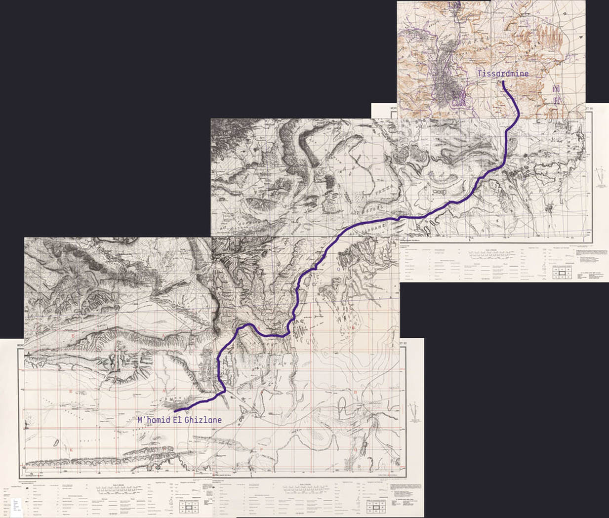
In order to better understand the nomads and how they "navigate" in the desert, we decided not to use GPS devices or smart phones, so the only way to know the location at every moment was to use maps (paper ones) and a compass. In this particular region it is not very complicate to find references thanks to mountains, valleys and riverbeds. However, the use of sextants would be necessary in places with no physical reference.
We found more interesting to use a series of plans made by the American army in the 40s and 50s, based on those by the French army. These plans can be dowloaded from the online archive of The University of Texas at Austin.
We found more interesting to use a series of plans made by the American army in the 40s and 50s, based on those by the French army. These plans can be dowloaded from the online archive of The University of Texas at Austin.
The route we finally did was a little bit different because the Moroccan army extended his exclusion area close to the border, but at the end, what we did was the same route caravans made.
In any case, we realised there are too many factors that can modify the route chosen by caravan drivers, like the existence or not of water, as well as the food for camels, plants and trees that sometimes are difficult to find, specially after a period of drought.
In any case, we realised there are too many factors that can modify the route chosen by caravan drivers, like the existence or not of water, as well as the food for camels, plants and trees that sometimes are difficult to find, specially after a period of drought.


