|
qafila thalitha. cartographies |
As usual, we tried to figure out a route according to the information provided by Google Maps, also taking into consideration the experience and the relation between the texture of the digital map and the real terrain. It was also important to find places where we could settle down, which means a place with a tree, separated 15 km, in order to walk just 15 km per day.
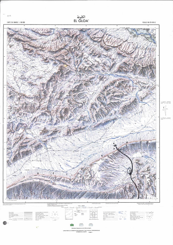
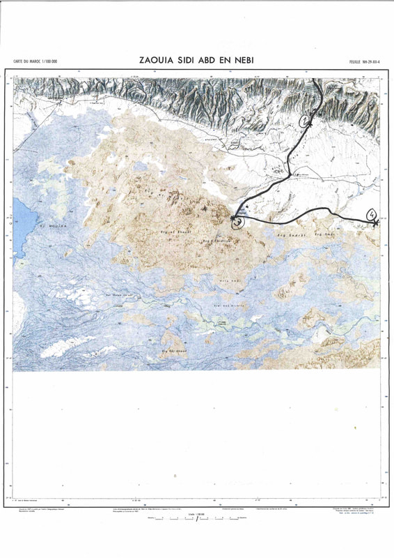
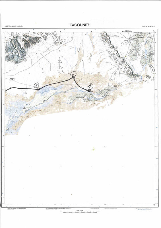
We used old plans that use to be more accurate (thanks to the graphic design), a series of plans made by the American army in the 40s and 50s, based on those by the French army. These plans can be dowloaded from the online archive of The University of Texas at Austin.
|
|
|
It was difficult to find the exact place we were, because the camel drivers did not understand plans and also because sand landscapes have no physical references (trees, hills, rivers...). Besides, not everybody is able to "read" cartography maps...
This is the exactly route we followed which was quite different to what we though when preparing the caravan.
